Table of Contents
Introduction
Ancient navigation techniques, developed long before the advent of modern technology, showcase the ingenuity and resourcefulness of early civilizations. These techniques, which combined art and science, enabled explorers and traders to traverse vast oceans, navigate unknown territories, and establish trade routes that connected distant cultures. By examining these methods, we gain insight into the sophisticated understanding of the natural world possessed by ancient mariners and the lasting impact of their discoveries on global history.

Celestial navigation is one of the oldest and most enduring methods of navigation, relying on the observation of celestial bodies to determine position and direction. Ancient sailors, from Polynesians to Greeks, used the stars, planets, and the moon as guides for their voyages.
Polynesians were remarkable navigators who explored and settled the vast expanses of the Pacific Ocean using a sophisticated system of celestial navigation. They relied on a combination of star patterns, the position of the sun, and the behavior of ocean swells. The Polynesians developed a complex knowledge of the stars and their rising and setting points, which they used to create mental maps of the ocean.
Navigators also observed the movement of birds and the color of the ocean to gauge their proximity to land. This method, known as &8220;wayfinding,&8221; enabled them to sail across thousands of miles of open ocean with remarkable accuracy. The art of Polynesian navigation, passed down through generations, remains a testament to their deep understanding of the natural world.
In the Mediterranean, ancient Greeks and Romans employed celestial navigation using instruments such as the astrolabe and the sextant. Greek astronomers like Hipparchus and Ptolemy made significant contributions to the field by mapping the positions of stars and developing systems for calculating latitude and longitude. Roman navigators used these astronomical observations to guide their ships along trade routes and military campaigns across the Mediterranean and beyond.
Dead Reckoning: Estimating Position and Course
Dead reckoning is a navigation technique that involves estimating a ship&8217;s position based on its previous position, speed, direction, and time traveled. This method was widely used by ancient mariners and remains a fundamental concept in navigation today.
The Use of Compasses and Loglines
Ancient Chinese navigators were among the first to use magnetic compasses, which allowed them to determine direction with greater accuracy. By the 11th century, the Chinese had developed the lodestone compass, which relied on the natural magnetism of iron ore to point north. This innovation greatly improved their ability to navigate long distances.
In addition to compasses, ancient mariners used loglines to measure speed. A logline was a rope with knots at regular intervals, thrown overboard with a wooden log attached. By counting the number of knots that passed through the sailor’s hands in a specific time, they could estimate the ship’s speed and distance traveled.

Mapmaking and Cartography: Charting the Known World
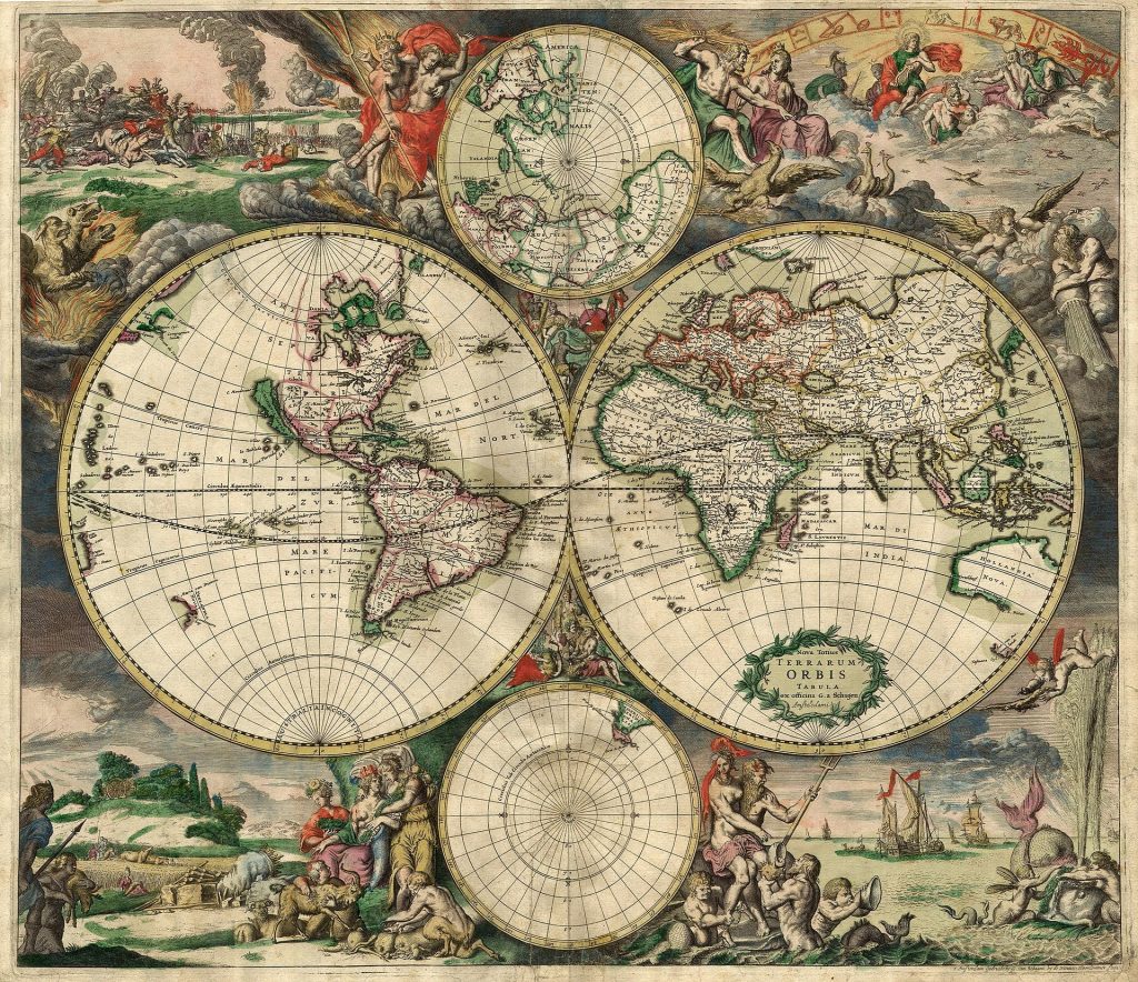
Mapmaking, or cartography, played a crucial role in ancient navigation by providing visual representations of known territories and routes. Ancient maps were often based on a combination of exploratory voyages, astronomical observations, and local knowledge.
Ancient Greek Maps
Greek cartographers like Anaximander and Ptolemy created some of the earliest known maps of the world. Anaximander&8217;s world map, produced in the 6th century BCE, depicted a flat Earth with known lands and seas. Ptolemy&8217;s &8220;Geographia,&8221; written in the 2nd century CE, was a comprehensive work that included detailed maps and descriptions of various regions. Ptolemy&8217;s maps, which used a coordinate system based on latitude and longitude, were highly influential and remained in use for centuries.
Roman and Medieval Cartography
Roman cartographers expanded on Greek knowledge, creating detailed maps of the Roman Empire&8217;s vast territories. The Tabula Rogeriana, produced in the 12th century by the Arab geographer Muhammad al-Idrisi, was a remarkable medieval map that depicted the known world with remarkable accuracy for its time. These maps were essential for guiding exploration and trade across Europe, Africa, and Asia.
The ancient navigation techniques laid the foundation for modern navigation and exploration. The principles of celestial navigation, dead reckoning, and cartography continue to influence contemporary methods used in aviation, maritime travel, and space exploration.
The resurgence of interest in traditional navigation methods, such as Polynesian wayfinding, reflects a growing appreciation for the sophistication of ancient practices. Modern navigators and researchers study these techniques to gain insights into historical exploration and to develop a deeper understanding of human ingenuity and adaptation.

Conclusion
The art and science of ancient navigation techniques highlight the remarkable achievements of early civilizations in their quest to explore and understand the world. From celestial navigation and dead reckoning to mapmaking and cartography, these methods demonstrate the ingenuity and skill of ancient mariners and cartographers. By exploring these techniques, we not only gain insight into the history of exploration but also appreciate the enduring impact of these practices on our modern understanding of navigation and geography.
